Tel: +86 139 0589 5606
E-mail:info@globri.com

Tel: +86 139 0589 5606
E-mail:info@globri.com
Water conservancy project management signs are fundamental marking facilities for property right demarcation, zoned management & protection, facility identification and flood control regulation of water conservancy projects. They apply to various open-air outdoor water conservancy scenarios including reservoirs, river dykes, irrigation district canal systems, sluice stations, tunnels and inverted siphons.
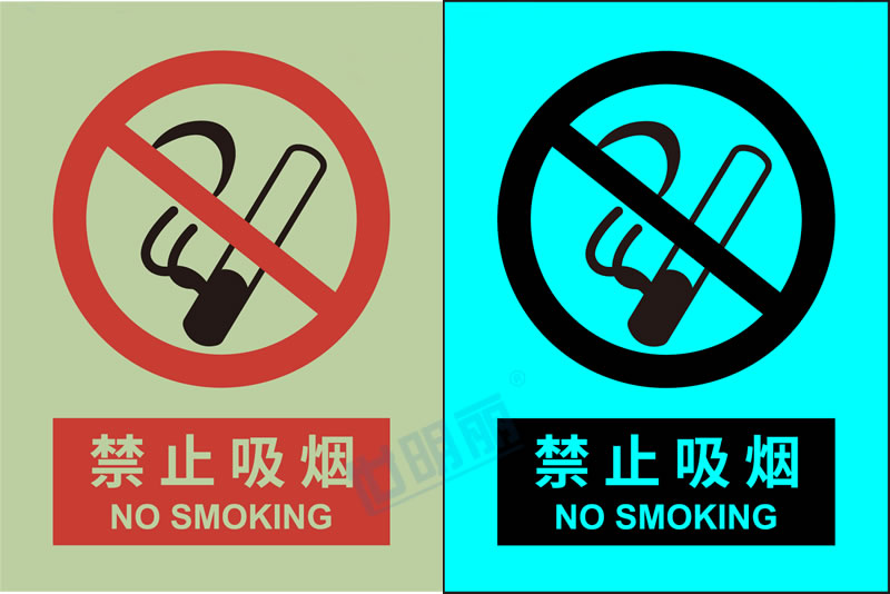
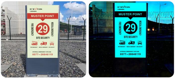
Adopting inorganic self-luminous signs features the performance advantages of clear visibility day and night and over 10 hours of autonomous luminescence at night, thoroughly solving the pain points of low nighttime recognizability and large management blind spots of traditional signs. It realizes all-weather project boundary demarcation, facility information publication and key position marking, comprehensively improving the normalized and standardized operation & maintenance management level of water conservancy projects.
These include boundary markers for reservoir management scope and boundary signs for reservoir protection scope. They are mainly installed along the full reservoir shoreline, reservoir bank watersheds and red line boundaries of project land expropriation, to clearly demarcate the legal management and protection scope of reservoir projects, accurately distinguish project land from public and private land ownership, deliver all-weather warnings, eliminate illegal acts such as encroachment on project land, unauthorized construction and land reclamation around reservoirs, and consolidate the management and protection boundaries of reservoir projects.
They are uniformly set at the dyke toes, dyke shoulders on both sides of the river and the edge lines of dyke land expropriation. They can clarify the legal management and protection areas of rivers and dykes, clearly define the control red lines for illegal sand mining, unauthorized construction and unauthorized cultivation, and provide day-and-night visual basis for river shoreline protection and dyke project management & protection.
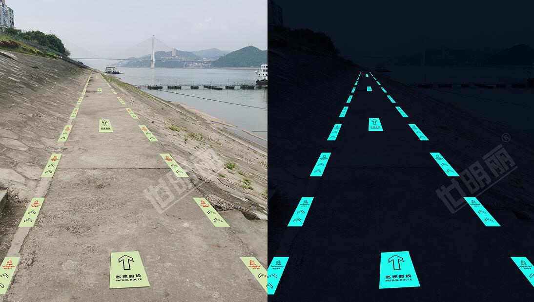
Arranged along the whole lines of main canals and branch canals in irrigation districts, as well as at key positions such as tunnel inlets & outlets and both ends of inverted siphons, they accurately demarcate the protection boundaries of various water conveyance projects, effectively curb illegal acts such as building houses on canal land, canal backfilling and damage to water conveyance structures, and ensure the integrity and smoothness of water conveyance channels in irrigation districts.
These are exclusive identification signs for water conservancy facilities. Among them, self-luminous reservoir name monuments, as the core landmark of dams, are installed at conspicuous positions such as the dam crest entrance and the downstream dam square. They clearly mark core information including reservoir name, construction year, total storage capacity and administrative authority day and night, serving both as landmark signs of the project and as basic information disclosure for project operation & maintenance and patrol management.
Set on the front of the sluice chamber and the outer wall of the main pumping station workshop, they clearly mark the sluice station name, design discharge, hoisting operation parameters and management unit. They also enable operation & maintenance personnel to quickly identify equipment and facilities and grasp project operation parameters in dark environments, standardizing the daily operation & maintenance management of sluice stations and pumping stations.
Arranged at the starting points of dyke sections and key risky dyke sections, they are used to accurately divide dyke management and protection sections, facilitating daily zoned patrol day and night and zoned responsibility management. Meanwhile, they provide accurate point reference for flood control investigation and hazard location during flood seasons.
Installed at core positions such as aqueduct inlets & outlets and main canal water diversion hubs, they enable intuitive identification of various canal structures both day and night, providing clear facility identification support for daily operation & maintenance of irrigation districts, irrigation water scheduling and water diversion control.
They are mainly used to publicize the functional parameters and operation & maintenance regulations of water conservancy projects, realizing day-and-night visual popularization and standardized management of projects.
Arranged in areas such as dam viewing platforms and management area squares, they display core information including dam type, dam height, flood control standard, as well as irrigation, water supply and power generation functions in detail. Both patrol personnel and visitors can fully understand the general situation and operation functions of the dam project day and night.
Set on the walkways on both sides of the spillway, they clearly explain the activation conditions of flood discharge facilities, flood discharge rules and the impact range of discharged flood, providing intuitive reference for daily night patrol, flood season scheduling and public evacuation.
Installed at key control points such as water diversion sluices and canal head hubs, they can clearly display the irrigation water supply coverage areas, water diversion control rules and equipment water shutdown maintenance periods day and night, standardizing the water supply scheduling order of irrigation districts and ensuring orderly agricultural irrigation.
Specially applied to risk points such as flow impingement sections of dykes, thin dyke body sections, historically failed dyke sections and reservoir bank landslide sections. Through all-weather eye-catching marking, they accurately mark key flood defense points and clarify high-risk weak sections of the project, providing strong support for key control in daily patrol, intensive investigation in flood seasons, rapid location of sudden hazards and emergency rescue & disposal, and effectively improving the flood risk prevention and control capacity of water conservancy projects.